Happy Birthday Vicky (and John M) xx
Well, we started out well today but things got a bit soggy along the way!! We went to Alnmouth's stunning beach where we parked the car on a puddled rutted beach front carpark, and from there we walked into the the very pretty village and then along the coastal path to the traditional fishing hamlet of Boulmer that is said to have changed very little in the last 100 years!
 |
| Alnmouth Beach where the River Aln Meets the North Sea |

The path on which we were walking was part of St Oswald's Way which is a long distance walking trail (95.7 miles) that starts in Kirkwhelpington and finishes on Holy Island, and we learnt that St Oswald was a Northumbrian King in the early 7th Century who played a major role in bringing Christianity to his people! So with this knowledge in mind maybe we'll have to come back soon to explore more of it at a later date.

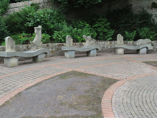
Eventually we got to Boulmer were we found a sea facing bench to rest on to eat our picnic while watching the waves wash up on the shore and the fishermen returning from their excursions out to sea! And the enjoyment of our corned beef cobs and crisps was much enhanced when a passerby stopped to chat and told us that a crab sandwich in the village would have cost 9 quid 😋


But as we sat something was going off behind our backs 😲 and when we turned around we could see huge dark clouds gathering and clearly threatening us with a soaking! And that was exactly what we got as we walked back along the sands! Initially we didn't bother with rain coats because we thought it might only be a few spots but as we gazed back the way we'd come we could see the downpour coming rapidly and despite our brisk pace it easily caught us up - we were absolutely drenched in seconds 😂😂😂! Then when we got back to the car the little puddle that John had parked in had taken on the proportions of a lake so we ended up having a paddle as well!
Thursday 8th July 2021 ⛅⛅⛅🌞🌞⛅⛅
Today we'd planned to park behind the dunes that run between Bamburgh and Seahouses and then walk along the beach into Seahouses and a bit beyond and that is exactly what we did. While we were walking the tide was well out so a huge width of fine white sand was set out before us thus making our walk quite spectacular, and even when we had to leave the beach just before Seahouses our views from the cliffs continued to hold our attention especially because there was plenty of bird life fishing about in the many rock pools.

Once in Seahouses we found it to be incredibly busy but that didn't really bother us because we were soon out of the town and toddling along the headland towards the golf club. However, from there the coastal path turns landwards so we about turned and found a bench overlooking the harbour were we sat and sipped coffee and munched cake while watching the many pleasure boats departing for the Farne Isles.
 |
| Seahouses' Harbour and you can just about see Bamburgh Castle on the upper left of the pic! |
 |
| An old Gun Power Shelter that must be submerged by the sea twice a day! |

 |
| The Light House on Farne Island taken from Budle bay with lots of Zoom! |
 |
| The Viewing Platform at Budle Bay |

Then it was into the ancient woodland of Deepdale Nature reserve where we found lots of old gnarled trees along with plenty of pretty wild flowers (which included orchids) and wild areas of undergrowth. There was also an old bridge with a young man standing on it that caught my interest🤣🤣🤣

Then as we neared Barnard Castle we passed over another bridge over the River Tees and from there we had lovely views of the old castle and also the fairly newly built weir.

The Barnard Castle weir was completed in 2014 and it's part of a gauging station that measures the depth and flow of the River Tees, and the info provided by it allows for early flood warnings for people downstream. Additionally it also contributes to the well being of the Atlantic salmon and sea trout that move upstream to breed and downstream to live their adult lives at sea. Apparently the previous weir from 1963 had been a huge barrier to the fish migration but the new one has a fish pass😀.
Next along our way came The Roman Picnic Site but it certainly hadn't always been as we saw it today. In Victorian times the site housed The Gasworks which for over 120 years supplied light heat and power to the town.


The trail then led us onto the green that lies in front of the castle wall and then a little further on into the town itself where we found lots of quaint shops and dozens of eateries. However what we couldn't find was a Bakers! John just fancied a large cream cake but although we saw plenty of seagulls there wasn't any 'Birds' to be found so in the end he had to make do with a Belgian fancy and a bottle of pop from the Co-op 😂

But, because of Covid distancing regulations and a lack of space on the viewing platform we could only stay a short while to admire it and after we were required to climb up over many high steps and through a dark dark pine tree wood back to the car park

Once back in the car we drove up onto the open moors where we were welcomed by bumpy winding roads that were nearly completely free of any other traffic, and where we were treated to magnificent views over rough pasture that was home to lots of sheep who spent their time munching and roaming. Cattle grids, high snow poles, deer fences and many miles of dry stone walls also featured highly on this section of our drive, and as well as the sheep feeding this was the place were we chose to stop and have our own feast.


Once we got going again we crossed over into Cumbria and passed through the town of Alston which was quaint, pretty and had partly cobbled roads, and apparently, it shares the title of the 'highest Market Town in England' at about 1,000 feet above sea level with Buxton in Derbyshire. From there we continued on our way to see the Lambley Viaduct and in so doing we crossed another county border back into Northumbria.
 |
| The Lambley Viaduct which was completed in 1852 and was used by Alston branch trains until 1976. The Viaduct stands 105 feet high and has 9 main arches |

Then we were back in the car again and heading for the Derwent Water Reservoir but to get there we needed to cross more Moor and traverse over more twisty turney hilly roads and as we did that it all looked a bit bleak because now the threatened rain had closed in and was pelting the car merrily! However, by the time we arrived the sun was brightening the sky again so as we approached we had magnificent views over the reservoir's huge expanse of water.
 |
| Derwent Water which lies in County Durham |
 |
| There were loads more but they wouldn't hold still while I took their pic😂 |
....... and then we walked by the side of the peaceful waters for a while. But by now the time was getting on so we decided it was time to head for home and in so doing it was back up onto the moors as we crossed over Weardale and Teasdale. Happily, throughout our day it only rained once and in total we covered 108 miles - and we were back well in time for the England Match😭 but at least it provided our evening's entertainment!
No comments:
Post a Comment